The Aral Sea basin includes parts of Afghanistan, Kazakhstan, Kyrgyzstan, Tajikistan, Turkmenistan and Usbekistan. The clip shows where of the waters of the Amu Darya and Syr Darya originate, where they flow to and what problems exist in that part of the world.
So far this clip has been viewed more than 300.000 times.
Show you care for the environment and communities across the World by Carbon Offsetting.
Use the World’s most popular online carbon footprint calculator, and it’s FREE. Calculate your carbon emissions from Buildings, Cars, Flights and other sources.
The United Nations is marking its 75th anniversary at a time of great challenge, including the worst global health crisis in its history. Will it bring the world closer together? Or will it lead to greater divides and mistrust? Your views can make a difference.
Would you rather spend 60 seconds on a survey or 60 years without climate change action? Have Your say and take the 1-minute survey: www.un75.online
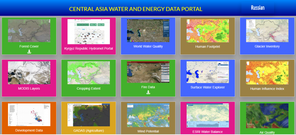
The Central Asia Water & Energy Data Portal is available in English and Russian language and covers the five countries of Central Asia including Afghanistan. The data portal includes many new high-quality datasets available from a number of institutions (e.g. UN agencies, NASA, NOAA, CIESIN, IRI, The World Bank, etc.). It contains datasets on various topics, such as: Environment, Social, Economic, Climate, Water, and Disaster. The data portal also contains so-called story maps, which present World Bank projects in Central Asia by making use of interactive maps. If you would like to try new ways of presenting the Central Asia development situation, environmental resources and risks, this portal is for you.
Check out the location of all 19 hydrological stations in Central Asia or get the Data of the Surface Water Explorer!
WUEMoCA is an operational scientific webmapping tool for the regional monitoring of land and water use efficiency in the irrigated croplands of the transboundary Aral Sea Basin that is shared by Kazakhstan, Kyrgyzstan, Tajikistan, Turkmenistan, Uzbekistan, and Afghanistan. Satellite data on land use, crop production and water consumption are integrated with hydrological and economic information to provide of a set indicators. The tool is useful for large-scale decisions on water distribution or land use, and may be seen as demonstrator for numerous applications in practice, that require independent area-wide spatial information.
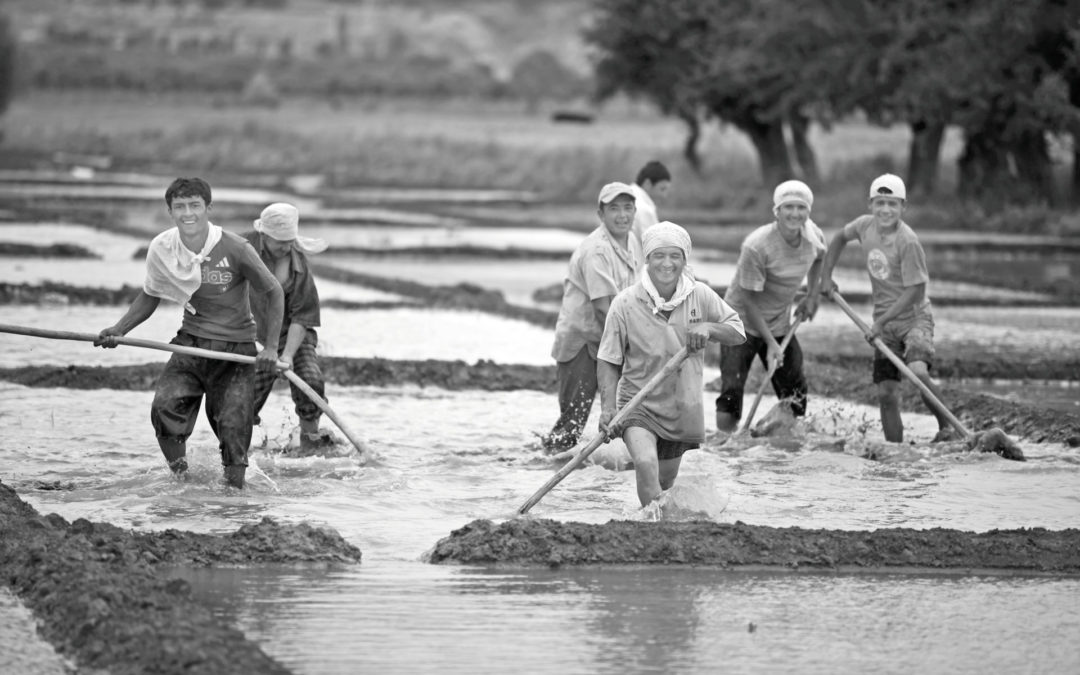
More cooperation for better results! One country in Central Asia should not benefit on the cost of another, therefore a unified approach for using water resources should ensure sustainable development with a maximum welfare for the people in the region.