Photos

The Pamir still fascinates explorers, just as it fascinated Marco Polo, whose path to China in the 13th century led him through these mountains. And today we follow the route of great scientists and adventurers from these glaciers to the Aral Sea. (45 Images)
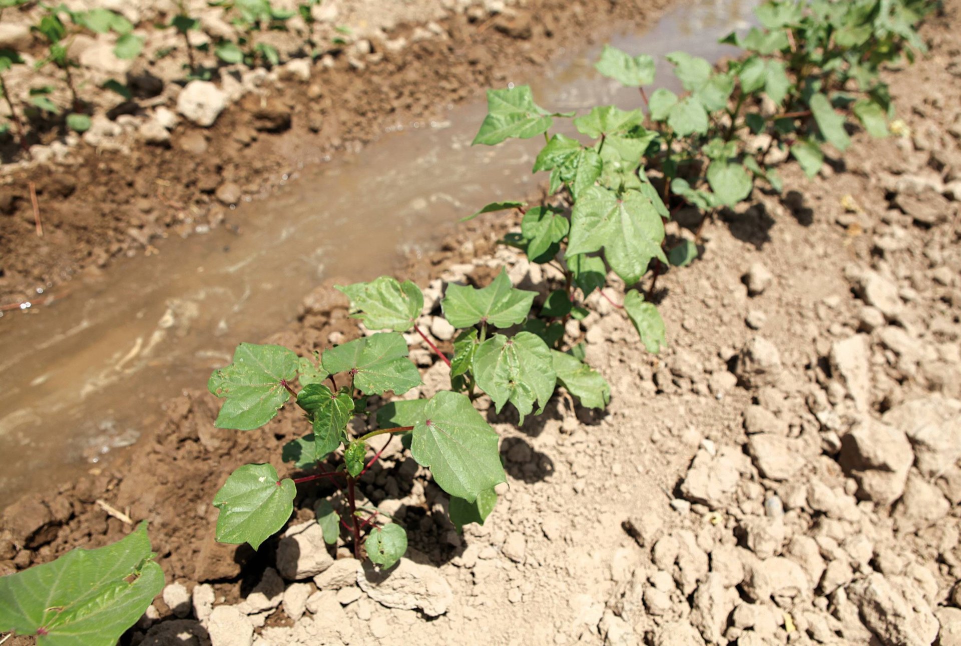
Due to the hot climate, it has never been easy to live in this inhospitable part of Central Asia. Turkmenistan has very little fertile soil and almost no local sources of water. Life here is only possible thanks to a costly irrigation system. The country’s most important source of water, the Amu Darya flowing from the eastern border with Uzbekistan, is located far from population centers in the south. The Karakum canal made it possible for cities to grow and opened up new tracts of land for agriculture. The 1,400-kilometer-long canal branches off from the Amu Darya. (53 Images)
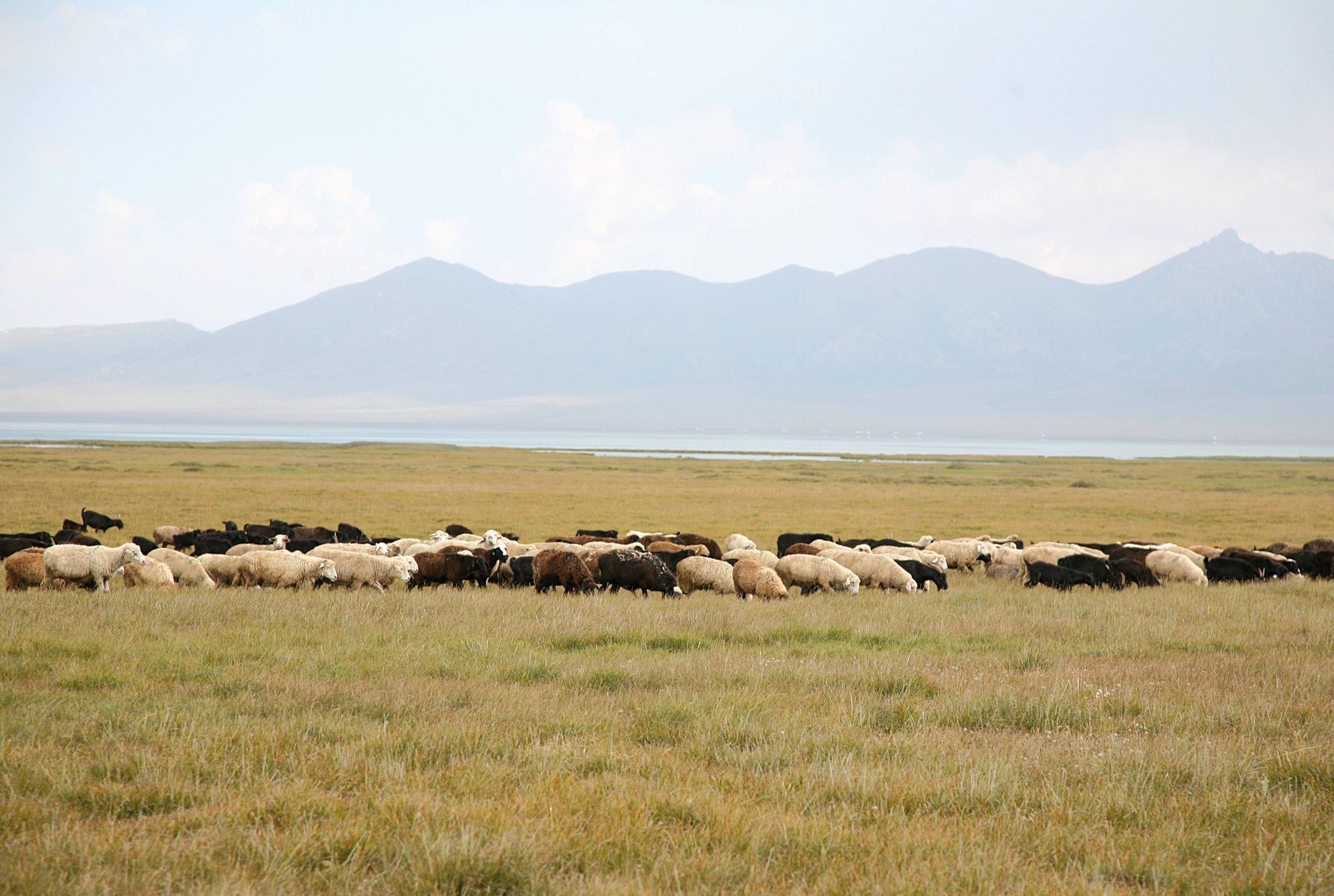
The Zerafshan river flows between the Amu Darya and Syr Darya. It also, originates in the mountains. When traveling by plane from Dushanbe to Bishkek, the capital of Kyrgyzstan, on a clear day one can see the glaciers where the river is formed. Hard to imagine that people live in these rugged valleys. (55 Images)
Endless glaciers and magnificent peaks that reach 7 500 meters characterize the Tian Shan mountain region.Endless glaciers and magnificent peaks that reach 7 500 meters characterize the Tian Shan mountain region. (60 Images)

“Disaster tourism, we don’t need that,” people near the Aral Sea would say. The sea had already withdrawn for many miles from Aralsk. During the helicopter flight to the Kokaral dam site, about 150 km south towards Uzbekistan, we saw the cargo ships lie in the sand. Pictures I had seen so often. (27 Images)